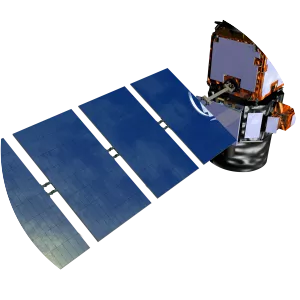
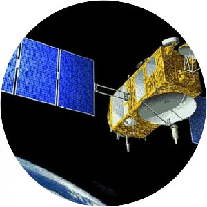
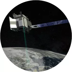
ICESat
| Use attributes for filter ! | |
| Launch date | January 13, 2003, 2:45 AM GMT+2 |
|---|---|
| Inclination | 94° |
| Cost | 282 million USD (2002) |
| Perigee altitude | 586 kilometers (364 mi) |
| Apogee altitude | 594 kilometers (369 mi) |
| Manufacturers | Ball Aerospace & Technologies |
| Date of Reg. | |
| Date of Upd. | |
| ID | 1247129 |
About ICESat
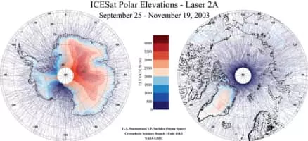
ICESat was a satellite mission for measuring ice sheet mass balance, cloud and aerosol heights, as well as land topography and vegetation characteristics. It operated as part of NASA's Earth Observing System.
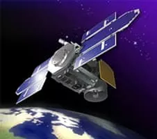
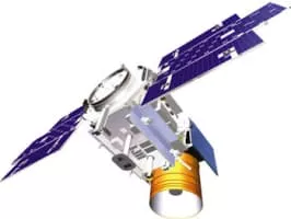
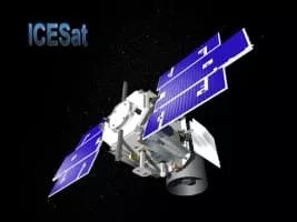
ICESat Photos