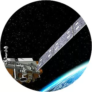
ICESat-2
| Use attributes for filter ! | |
| Launch date | September 15, 2018, 6:02 PM GMT+3 |
|---|---|
| Orbit height | 481 km |
| Cost | 96. 6 million USD (2013) |
| Perigee altitude | 479. 10 km (297. 70 mi) |
| Apogee altitude | 482. 78 km (299. 99 mi) |
| Manufacturers | Orbital Sciences Corporation |
| Date of Reg. | |
| Date of Upd. | |
| ID | 2333041 |
About ICESat-2
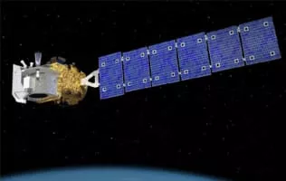
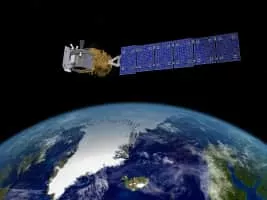
ICESat-2, part of NASA's Earth Observing System, is a satellite mission for measuring ice sheet elevation and sea ice thickness, as well as land topography, vegetation characteristics, and clouds.
ICESat-2 Photos