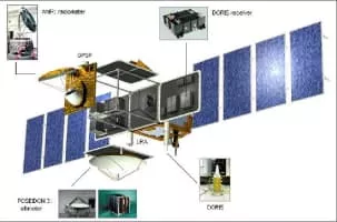
OSTM/Jason-2
| Use attributes for filter ! | |
| Launch date | June 20, 2008, 10:46 AM GMT+3 |
|---|---|
| Orbit height | 1,336 km |
| Manufacturers | Thales Alenia Space |
| Launch site | Vandenberg Air Force Base Space Launch Complex 2 |
| Perigee altitude | 1,332 kilometers (828 mi) |
| Apogee altitude | 1,343 kilometers (835 mi) |
| Date of Reg. | |
| Date of Upd. | |
| ID | 2308699 |
About OSTM/Jason-2
OSTM/Jason-2, or the Ocean Surface Topography Mission on the Jason-2 satellite, was an international Earth observation satellite mission that continued the sea surface height measurements begun in 1992 by the joint NASA/CNES TOPEX/Poseidon mission and followed by the NASA/CNES Jason-1 mission launched in 2001.
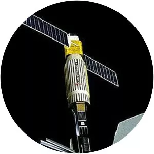
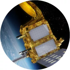
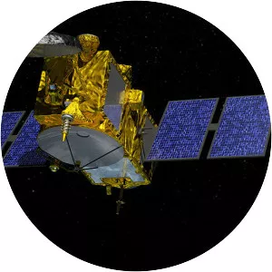
OSTM/Jason-2 Photos