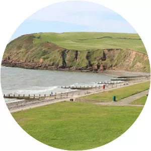
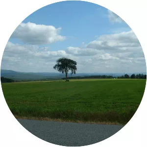
Shap
| Use attributes for filter ! | |
| Weather | 9°C, Wind SW at 61 km/h, 95% Humidity |
|---|---|
| Population | 1,264 (2011) |
| Shire county | Cumbria |
| Local time | Sunday 05:51 |
| Dialling code | 01931 |
| Postcode district | CA10 |
| District | Eden District |
| Date of Reg. | |
| Date of Upd. | |
| ID | 2466529 |
About Shap
Shap is a linear village and civil parish located among fells and isolated dales in Eden district, Cumbria, England. The village lies along the A6 road and the West Coast Main Line, and is near to the M6 motorway.