Mount Rogers
| Use attributes for filter ! | |
| Elevation | 1746 |
|---|---|
| Prominence | 746 m |
| Locations | Grayson |
| Smyth | |
| Virginia | |
| United States | |
| Topo map | USGS |
| Whitetop Mountain | |
| Mountain range | Blue Ridge Mountains |
| Did you know | Mount Rogers is geologically notable for having evidence of ancient Precambrian volcanic activity as well as being the only location in Virginia with evidence of ancient Proterozoic glaciation. |
| Date of Reg. | |
| Date of Upd. | |
| ID | 974229 |
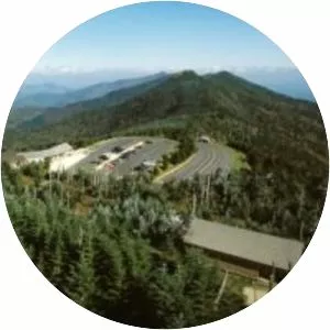
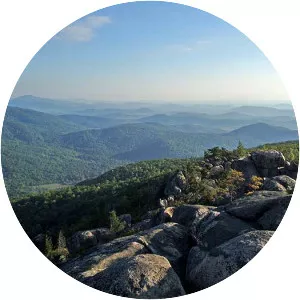
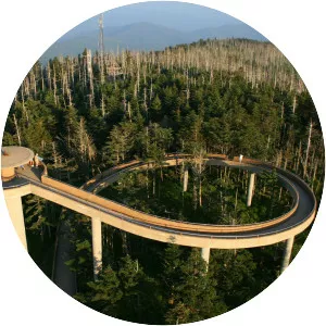
About Mount Rogers
Mount Rogers is the highest natural point in the Commonwealth of Virginia, United States, with a summit elevation of 5,729 feet above mean sea level. The summit straddles the border of Grayson and Smyth Counties, Virginia, about 6. 45 miles WSW of Troutdale, Virginia.