Hawksbill Mountain
| Use attributes for filter ! | |
| Elevation | 1,234 m |
|---|---|
| Prominence | 655 m |
| Topo map | Big Meadows |
| USGS | |
| Easiest route | Hiking |
| Parent range | Blue Ridge Mountains |
| Ratings | 4.9 |
| Mountain range | Appalachian Mountains |
| Blue Ridge Mountains | |
| Date of Reg. | |
| Date of Upd. | |
| ID | 999918 |
About Hawksbill Mountain
Hawksbill Mountain is a mountain with an elevation of 4,050 feet. Marking the border between Madison County and Page County in Virginia, the summit of Hawksbill Mountain is the highest point in Shenandoah National Park, as well as the highest point in both Madison and Page counties.
Where is the Hawksbill Mountain
Click on the photo of Hawksbill Mountain to view it on Google Maps.
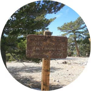
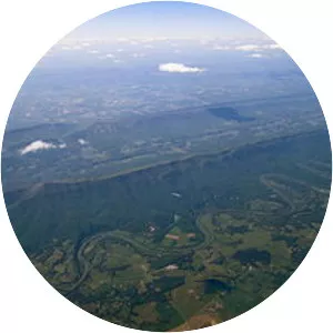
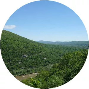
Hawksbill Mountain Photos