MapWindow GIS
| Use attributes for filter ! | |
| Written in | C# |
|---|---|
| Operating system | Microsoft Windows |
| Developers | Open Source |
| Stable release | August 1, 2013 |
| License | MPL |
| Date of Reg. | |
| Date of Upd. | |
| ID | 999405 |
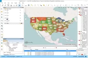
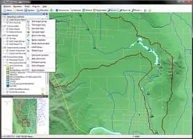
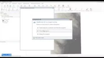
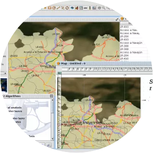
About MapWindow GIS
MapWindow GIS is an open-source GIS application and set of programmable mapping components. It has been adopted by the United States Environmental Protection Agency as the primary GIS platform for its BASINS watershed analysis and modeling software.
MapWindow GIS Photos