SAGA GIS
| Use attributes for filter ! | |
| Initial release date | February 2004 |
|---|---|
| Stable release | 20 February 2018 |
| Written in | C++ |
| wxWidgets | |
| License | GNU General Public License |
| Date of Reg. | |
| Date of Upd. | |
| ID | 999394 |
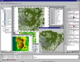
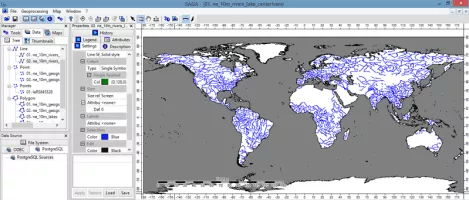
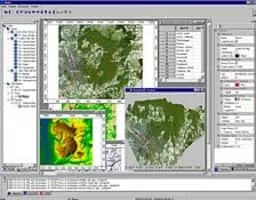
About SAGA GIS
System for Automated Geoscientific Analyses is a geographic information system computer program, used to edit spatial data.
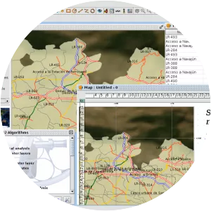
SAGA GIS Photos