Columbia Plateau
| Use attributes for filter ! | |
| Highest point | Indian Rock |
|---|---|
| Country | United States |
| Did you know | The Columbia River makes a looping S-curve through the central Washington part of the Columbia Plateau. |
| Date of Reg. | |
| Date of Upd. | |
| ID | 1062782 |
About Columbia Plateau
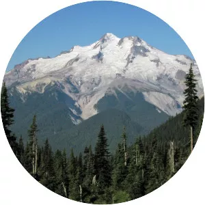
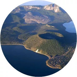
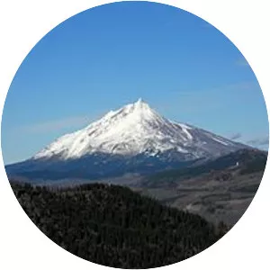
The Columbia Plateau is a geologic and geographic region that lies across parts of the U. S. states of Washington, Oregon, and Idaho. It is a wide flood basalt plateau between the Cascade Range and the Rocky Mountains, cut through by the Columbia River.