Border Route Hiking Trail
| Use attributes for filter ! | |
| Sight | The Boundary Waters Canoe Area Wilderness |
|---|---|
| Length | 65 mi (105 km) |
| Locations | Cook County |
| Minnesota | |
| United States | |
| Date of Reg. | |
| Date of Upd. | |
| ID | 2249366 |
About Border Route Hiking Trail
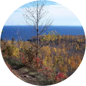
The Border Route Trail is a 65-mile long hiking trail that crosses the Boundary Waters Canoe Area Wilderness in the far northeast corner of Minnesota and follows the international border between Minnesota and Ontario, Canada.