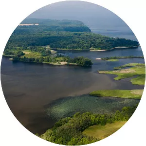
York River
| Use attributes for filter ! | |
| Length | 55 km |
|---|---|
| Mouth | Chesapeake Bay |
| Country | United States |
| ⁃ average | 1,085 cu ft/s (30. 7 m3/s) |
| Bridges | Coleman Memorial Bridge |
| Did you know | The only vehicular crossing of the York River is the George P. Coleman Memorial Bridge, a swing-type drawbridge which carries U. S. Highway 17 between Yorktown and Gloucester Point. |
| Date of Reg. | |
| Date of Upd. | |
| ID | 1090631 |
About York River
The York River is a navigable estuary, approximately 34 miles long, in eastern Virginia in the United States. It ranges in width from 1 mile at its head to 2. 5 miles near its mouth on the west side of Chesapeake Bay. Its watershed drains an area of the coastal plain of Virginia north and east of Richmond.