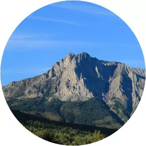
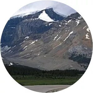
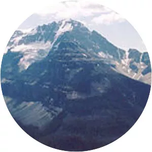
Waputik Range
| Use attributes for filter ! | |
| Elevation | 3284 |
|---|---|
| Area | 235 |
| Highest point | Howse Peak |
| Provinces | Alberta |
| Country | Canada |
| Date of Reg. | |
| Date of Upd. | |
| ID | 2616841 |
About Waputik Range
The Waputik Range lies west of the upper Bow Valley, east of Bath Creek, and south of Balfour Creek in the Canadian Rockies. "Waputik" means "white goat" in Stoney. The range was named by George Mercer Dawson of the Geological Survey of Canada. The President Range lies within the Waputik Range.