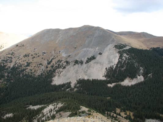
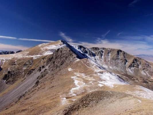
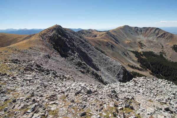
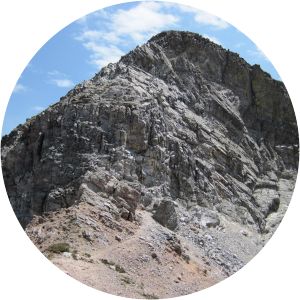
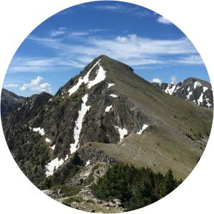
Venado Peak
| Use attributes for filter ! | |
| Elevation | 3,883 m |
|---|---|
| Prominence | 894 m |
| Topo map | USGS |
| Latir Peak | |
| Easiest route | Hiking |
| Mountain range | Taos Mountains |
| Sangre de Cristo Mountains | |
| Rocky Mountains | |
| Parent ranges | Sangre de Cristo Mountains |
| Rocky Mountains | |
| Date of Reg. | |
| Date of Upd. | |
| ID | 2962471 |
About Venado Peak
Venado Peak is one of the major peaks of the Taos Mountains group of the Sangre de Cristo Mountains, a subrange of the Rocky Mountains. It is located in Taos County, New Mexico, about 8 miles northeast of the town of Questa. Its summit is the highest point in the Latir Peak Wilderness, part of Carson National Forest.
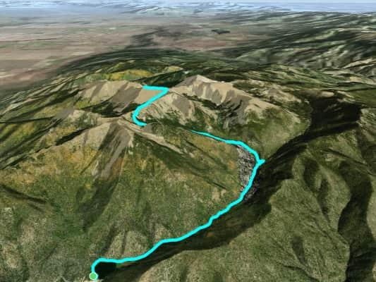
Where is the Venado Peak
Click on the photo of Venado Peak to view it on Google Maps.
Venado Peak Photos