USGS Peak
| Use attributes for filter ! | |
| Mount Church | Mount Church |
|---|---|
| 11,982 ft (3,652 m) | |
| Custer County, Idaho | Custer County, Idaho |
| Elevation | 3652 |
| Prominence | 543 m |
| Mountain range | Lost River Range |
| Parent peak | Mount Church |
| Parent range | Lost River Range |
| Locations | Custer County |
| Idaho | |
| Date of Reg. | |
| Date of Upd. | |
| ID | 2266173 |
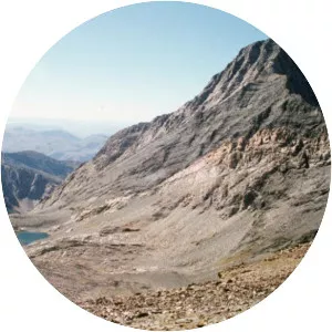
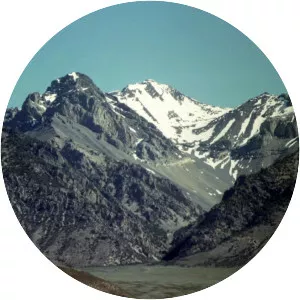
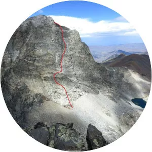
About USGS Peak
USGS Peak, at 11,982 feet above sea level, is the tenth-highest peak in the U. S. state of Idaho and the eighth-highest in the Lost River Range. The peak is located in Salmon-Challis National Forest in Custer County. It is 4. 15 miles southeast of Lost River Peak, its line parent.