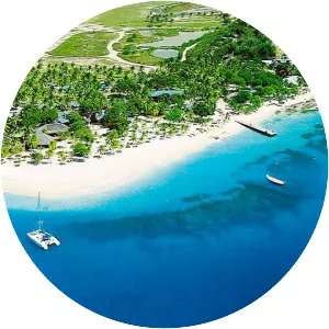
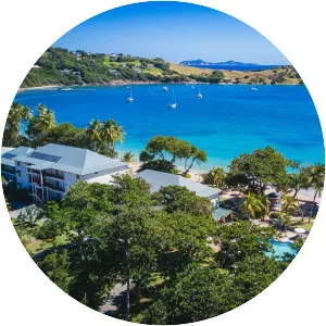
Union Island
| Use attributes for filter ! | |
| Area | 9065 |
|---|---|
| Locations | Caribbean Sea |
| Population | ~ 3,000 (2012) |
| Largest | Clifton |
| Highest point | Mount Taboi |
| Island groups | Windward Islands |
| Lesser Antilles | |
| Date of Reg. | |
| Date of Upd. | |
| ID | 2231718 |
About Union Island
Union Island is part of the nation of Saint Vincent and the Grenadines. It has a surface of 9 square kilometres and lies about 200 km west-southwest of Barbados and is within view of the islands of Carriacou and the mainland of Grenada, which lie directly south. Clifton and Ashton are the two principal towns.