Una, Himachal Pradesh
| Use attributes for filter ! | |
| Elevation | 369 m |
|---|---|
| Weather | 11°C, Wind E at 3 km/h, 100% Humidity |
| Population | 18,722 (2011) |
| Local time | Wednesday 09:59 |
| Thursday 03:36 | |
| Colleges and universities | Indian Institute of Information Technology Una |
| Indus International University | |
| Neighborhoods | HRTC Colony |
| Vikas Nagar | |
| Ram Nagar | |
| Shailja Vihar | |
| Hospital Colony | |
| Chanderlok Colony | |
| Current weather | 28°C, Wind E at 5 km |
| District | Una |
| Location statistical region population | 18,722 |
| Attractions | Sheetla Mata Mandir |
| Peer Nigaha Darbar | |
| Universities | Indus International University |
| Date of Reg. | |
| Date of Upd. | |
| ID | 2316118 |
About Una, Himachal Pradesh
Una is a Municipal Council City in Una district in the Indian state of Himachal Pradesh. It serves as the headquarters of Una district. There are 11 wards under Municipal Council.
Where is the Una, Himachal Pradesh
Click on the photo of Una, Himachal Pradesh to view it on Google Maps.
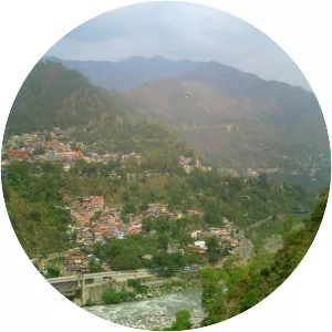
Una, Himachal Pradesh Photos