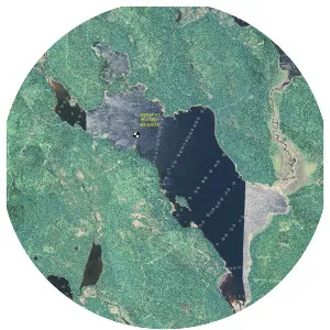
Toddy Pond
| Use attributes for filter ! | |
| Area | 9745 |
|---|---|
| Surface elevation | 50 |
| Locations | Hancock County |
| Maine | |
| Lake type | Reservoir |
| Max. depth | 122 feet (37 m) |
| Max. length | 8 mi (13 km) |
| Date of Reg. | |
| Date of Upd. | |
| ID | 2061570 |
About Toddy Pond
Toddy Pond is a long, narrow Maine lake with three basins. The southern basin extends from Blue Hill northward to the middle basin forming the boundary between Penobscot and Surry. The northern basin is in Orland, where US route 1 follows the shoreline of the northern tip of the pond.