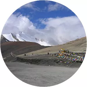
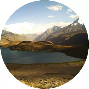
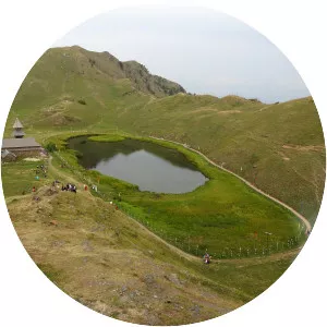
Suraj Tal
| Use attributes for filter ! | |
| Surface elevation | 4883 |
|---|---|
| Shore length | 4 km |
| Primary outflow | Bhaga River |
| Frozen | During winter |
| Settlement | Darcha |
| Shore length1 | 4 km (2. 5 mi) |
| Date of Reg. | |
| Date of Upd. | |
| ID | 2963066 |
About Suraj Tal
Suraj Tal or Suraj Tal Lake also called Surya taal, is a sacred body of water, literally means the Lake of the Sun God, and lies just below the Bara-lacha-la pass in the Lahaul and Spiti valley of Himachal Pradesh state in India and is the third highest lake in India, and the 21st-highest in the world.