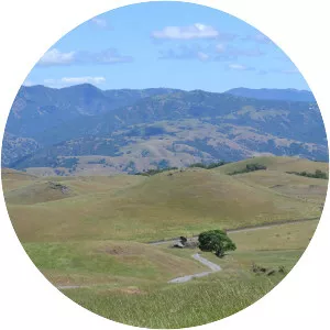
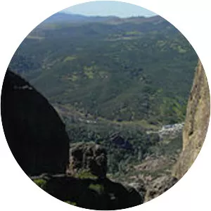
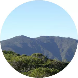
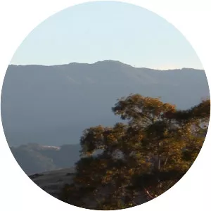
Sierra Azul
| Use attributes for filter ! | |
| Elevation | 883 |
|---|---|
| Country | United States |
| Topo map | USGS |
| Los Gatos | |
| District | Santa Clara County |
| Parent range | Santa Cruz Mountains |
| Date of Reg. | |
| Date of Upd. | |
| ID | 2930283 |
About Sierra Azul
The Sierra Azul is a mountain range in Santa Clara County, California. It is the southern half of the Santa Cruz Mountains range, which is divided into two parts by California Highway 17 into what the . . .