Sheffield And South Yorkshire Navigation
| Use attributes for filter ! | |
| Owners | (Took over existing waterways) |
|---|---|
| Date of act | 1889 |
| Date of first use | 1895 |
| Navigation authority | Canal & River Trust |
| Start point | Sheffield |
| Connects to | River Trent |
| Aire and Calder Navigation | |
| Date of Reg. | |
| Date of Upd. | |
| ID | 2613797 |
About Sheffield And South Yorkshire Navigation
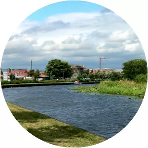
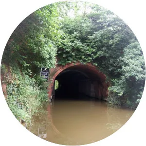
The Sheffield and South Yorkshire Navigation is a system of navigable inland waterways in South Yorkshire and Lincolnshire, England. Chiefly based on the River Don, it runs for a length of 43 miles and has 27 locks.