Shatt Al-Arab
| Use attributes for filter ! | |
| Length | 200 km |
|---|---|
| Discharge | 1,750 m³/s |
| Mouth | Persian Gulf (also known as Arabian Gulf) |
| Basin size | 884,000 km2 (341,000 sq mi) |
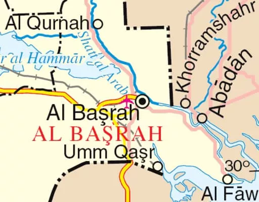
| Cities | Basrah |
| Khorramshahr | |
| Abadan | |
| Sources | Euphrates |
| Tigris | |
| Ratings | 4.2 |
| Source elevation | 4 m |
| Countries | Iraq |
| Source | Euphrates |
| Tigris | |
| Date of Reg. | |
| Date of Upd. | |
| ID | 713054 |
About Shatt Al-Arab
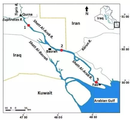
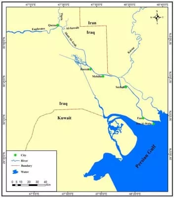
The Shatt al-Arab, sometimes called the Arvand Rud, is a river of some 200 kilometres in length that is formed at the confluence of the Euphrates and Tigris rivers in the town of al-Qurnah in the Basra Governorate of southern Iraq.
Where is the Shatt al-Arab
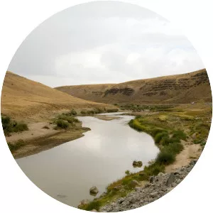
Click on the photo of Shatt al-Arab to view it on Google Maps.
Shatt al-Arab Photos