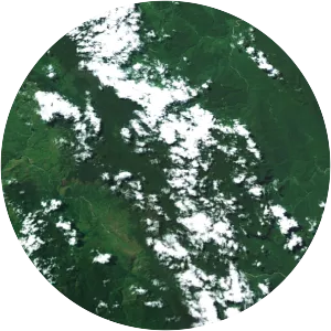
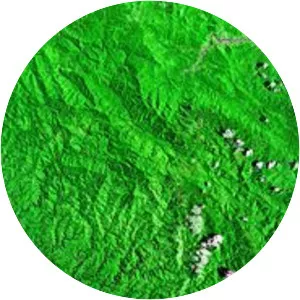
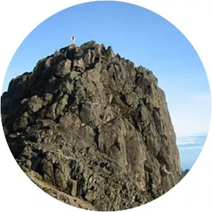
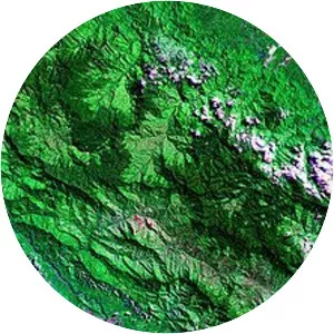
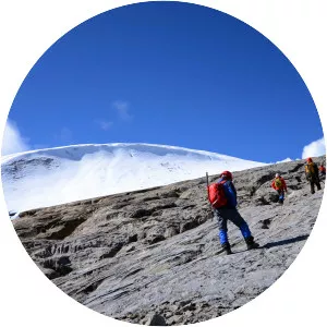
Saruwaged Range
| Use attributes for filter ! | |
| Elevation | 1566 |
|---|---|
| Highest point | Mount Bangeta |
| Country | Papua New Guinea |
| Range coordinates | 6°18′39″S 147°05′27″E / 6. 31083°S 147. 09083°E Coordinates: 6°18′39″S 147°05′27″E / 6. 31083°S 147. 09083°E |
| Mountains | Mount Bangeta |
| Date of Reg. | |
| Date of Upd. | |
| ID | 2017638 |
About Saruwaged Range
The Saruwaged Range is a mountain range on the Huon Peninsula in Morobe Province, north-eastern Papua New Guinea. The range is dominated by the Sarawaget Massif which is capped by the two peaks of Mount Bangeta and Mount Sarawaged, with given 4,121 m elevation is SRTM compatible.