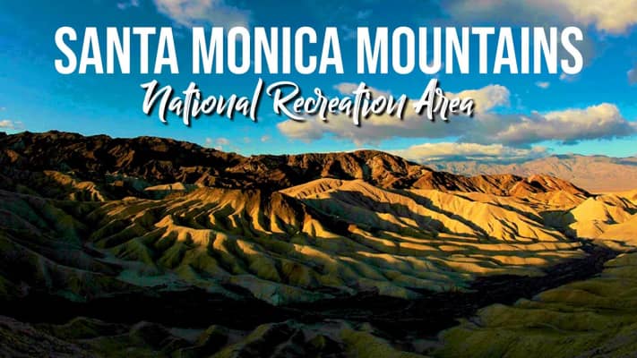
Santa Monica Mountains
| Use attributes for filter ! | |
| Elevation | 948 m |
|---|---|
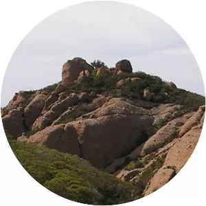
| Highest point | Sandstone Peak |
| Did you know | Geologists consider the northern Channel Islands to be a westward extension of the Santa Monicas into the Pacific Ocean. |
| Ratings | 4.7 |
| Mountain range | Transverse Ranges |
| Countries | United States |
| Rang coordin | 34°7′13.023″N 118°55′54.348″W / 34.12028417°N 118.93176333°W |
| Passes | Sepulveda Pass |
| Cahuenga Pass | |
| Mountains | Saddle Peak |
| Sandstone Peak | |
| Calabasas Peak | |
| Boney Peak | |
| Date of Reg. | |
| Date of Upd. | |
| ID | 996797 |
About Santa Monica Mountains
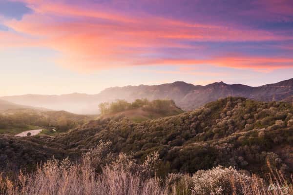
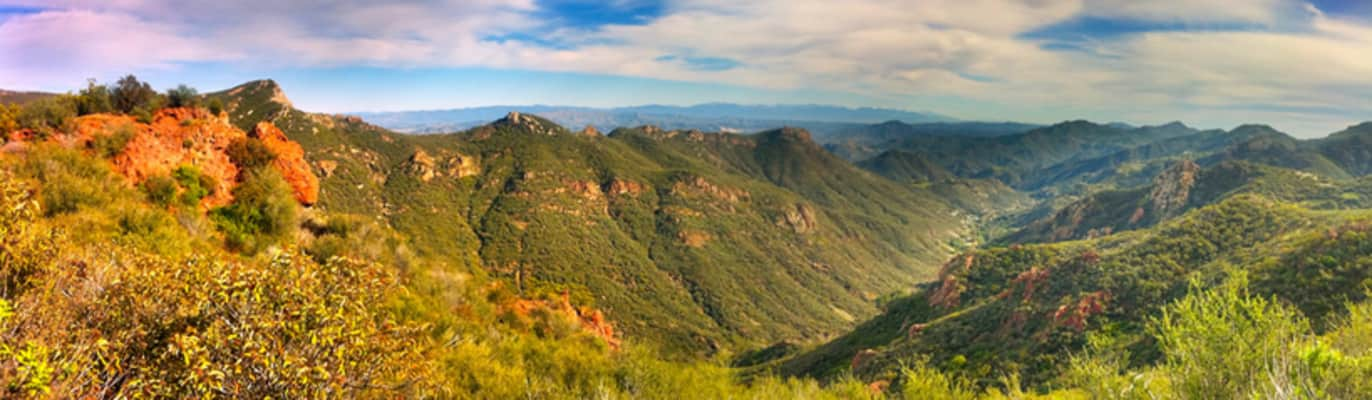
The Santa Monica Mountains is a coastal mountain range in Southern California, next to the Pacific Ocean. It is part of the Transverse Ranges. The Santa Monica Mountains National Recreation Area encompasses this mountain range.
Where is the Santa Monica Mountains
Click on the photo of Santa Monica Mountains to view it on Google Maps.
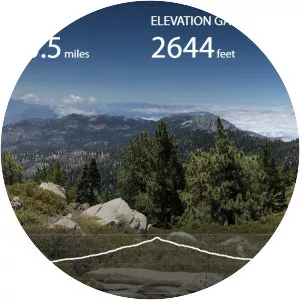
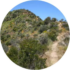
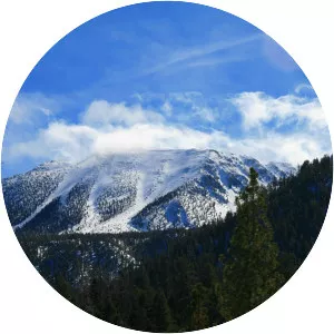
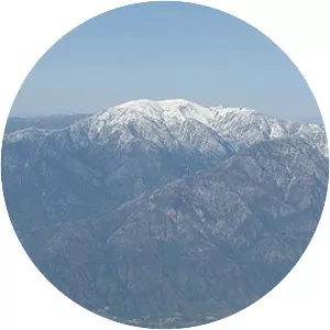
Santa Monica Mountains Photos