Salmon Falls River
| Use attributes for filter ! | |
| Length | 61 km |
|---|---|
| Source | Great East Lake |
| Mouth | Piscataqua River |
| Country | United States |
| Date of Reg. | |
| Date of Upd. | |
| ID | 2351695 |
About Salmon Falls River
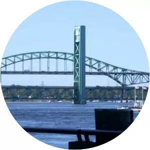
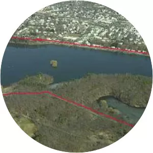
The Salmon Falls River is a tributary of the Piscataqua River in the U. S. states of Maine and New Hampshire. It rises at Great East Lake, Newichawannock Canal, and Horn Pond and flows south-southeast for approximately 38 miles, forming the border between York County, Maine, and Strafford County, New Hampshire.