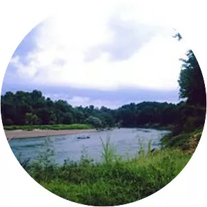
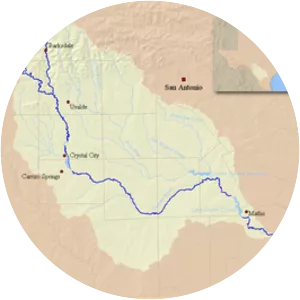
Sabine River
| Use attributes for filter ! | |
| Length | 821 km |
|---|---|
| Discharge | 237. 9 m³/s |
| Source | Lake Tawakoni |
| Mouth | Sabine Lake |
| Basin size | 9,756 sq mi (25,270 km2) |
| ⁃ average | 8,400 cu ft/s (240 m3/s) |
| Date of Reg. | |
| Date of Upd. | |
| ID | 2050594 |
About Sabine River
The Sabine River is a river, 510 miles long, in the Southern U. S. states of Texas and Louisiana. In its lower course, it forms part of the boundary between the two states and empties into Sabine Lake, an estuary of the Gulf of Mexico.