Riverland
| Use attributes for filter ! | |
| Population | 41, 802 (2008) |
|---|---|
| State electorate(s) | Chaffey |
| Stuart | |
| Federal division | Division of Barker |
| Lgas | The Berri Barmera Council |
| District Council of Loxton Waikerie | |
| Mid Murray Council | |
| Renmark Paringa Council | |
| Berri Barmera | |
| Loxton Waikerie | |
| Mid Murray | |
| Renmark Paringa | |
| Popul | 41, 802 |
| Feder divis | Barker |
| State elector | Chaffey |
| Stuart | |
| Date of Reg. | |
| Date of Upd. | |
| ID | 2574468 |
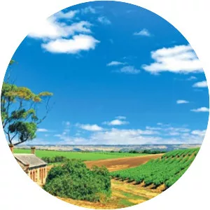
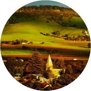
About Riverland
The Riverland is a region of South Australia. It covers an area of 9,386 square kilometres along the River Murray from where it flows into South Australia from New South Wales and Victoria downstream to Blanchetown.
Where is the Riverland
Click on the photo of Riverland to view it on Google Maps.
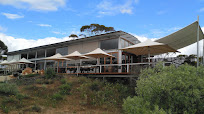
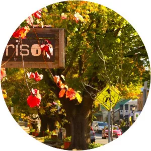
Riverland Photos