River Duddon
| Use attributes for filter ! | |
| Length | 43 km |
|---|---|
| Mouth | Irish Sea |
| Country | United Kingdom |
| Regions | Cumbria |
| Mouth elevation | 0 |
| Date of Reg. | |
| Date of Upd. | |
| ID | 2424524 |
About River Duddon
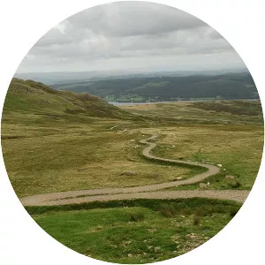
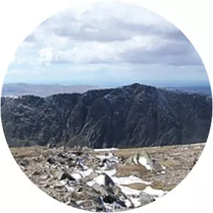
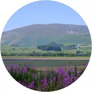
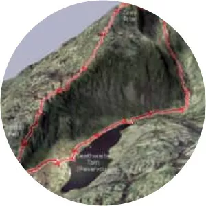
The Duddon is a river of north-west England. It rises at a point 1,289 feet above sea level near the Three Shire Stone at the highest point of Wrynose Pass. The river descends to the sea over a course of about 15 miles before entering the Irish Sea at the Duddon Sands.