Remutaka Rail Trail
| Use attributes for filter ! | |
| Address | Unnamed Road, Kaitoke, Remutaka Hill 5018, New Zealand |
|---|---|
| Length | 22 km |
| Uses | Cycling |
| Hiking | |
| Equestrianism | |
| Ratings | 4.8 |
| Date of Reg. | |
| Date of Upd. | |
| ID | 3111581 |
About Remutaka Rail Trail
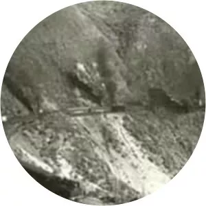
The Remutaka Rail Trail is a walking and cycling track in the North Island of New Zealand. It runs between Maymorn and Cross Creek, and follows 22 kilometres of the original route of the Wairarapa Line over the Remutaka Range between the Mangaroa Valley and the Wairarapa, including the world-famous Rimutaka Incline.
Where is the Remutaka Rail Trail
Click on the photo of Remutaka Rail Trail to view it on Google Maps.