Quilotoa
| Use attributes for filter ! | |
| Elevation | 3,914 m |
|---|---|
| Last eruption | 1280 |
| Prominence | 155 m |
| Age of rock | 40,027 years |
| approx. 40,000 years | |
| Locations | Pujili Canton |
| Cotopaxi Province | |
| Pujili Canton, Cotopaxi Province, Ecuador | |
| Ratings | 4.8 |
| Mountain range | Andes |
| Last erupt | 1280 |
| Coordin | 0°51′S 78°54′W / 0.85°S 78.9°W |
| Date of Reg. | |
| Date of Upd. | |
| ID | 1068676 |
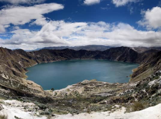
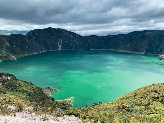
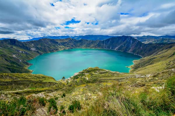
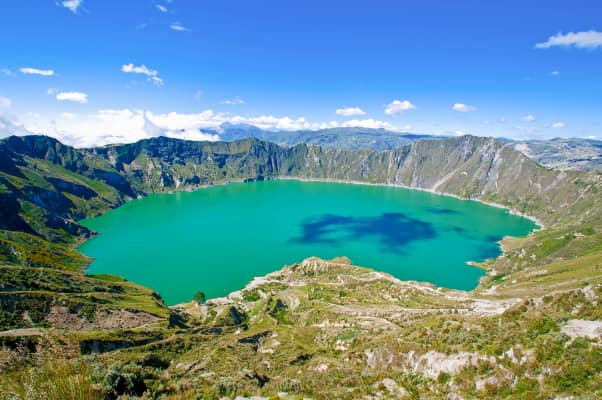
About Quilotoa
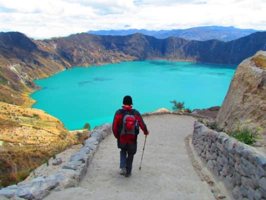
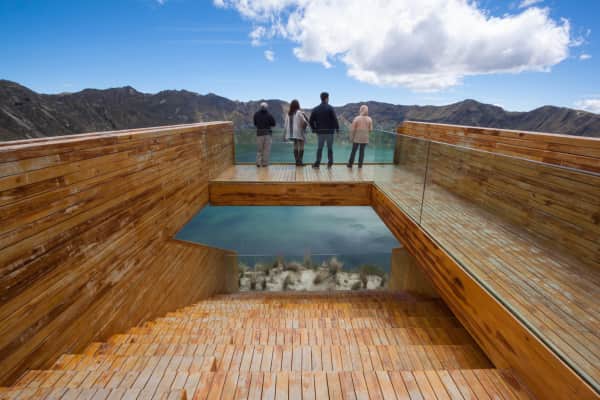
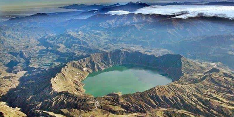
Quilotoa is a water-filled crater lake and the most western volcano in the Ecuadorian Andes. The 3-kilometre-wide caldera was formed by the collapse of this dacite volcano following a catastrophic VEI-6 ...
Where is the Quilotoa
Click on the photo of Quilotoa to view it on Google Maps.
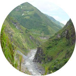
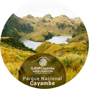
Quilotoa Photos