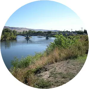
Puyallup River
| Use attributes for filter ! | |
| Discharge | 93. 81 m³/s |
|---|---|
| Length | 72 km |
| Basin size | 948 sq mi (2,460 km2) |
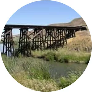
| Bridges | McMillin Bridge |
| Sources | North Puyallup River |
| South Puyallup River | |
| Mouths | Puget Sound |
| Commencement Bay | |
| Date of Reg. | |
| Date of Upd. | |
| ID | 2087065 |
About Puyallup River
The Puyallup River is a river in the U. S. state of Washington. About 45 miles long, it is formed by glaciers on the west side of Mount Rainier. It flows generally northwest, emptying into Commencement Bay, part of Puget Sound.