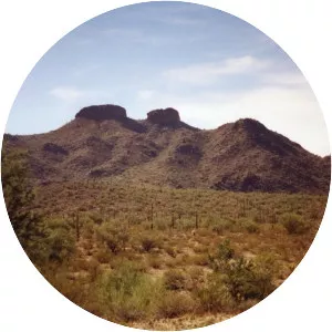
Pinal Peak
| Use attributes for filter ! | |
| Elevation | 78482392 |
|---|---|
| Range | Pinal Mountains |
| Topo map | USGS |
| Date of Reg. | |
| Date of Upd. | |
| ID | 1400692 |
About Pinal Peak
Pinal Peak, located in southern Gila County, Arizona, is the highest point in the Pinal Mountains, with an elevation of 7,848 feet. It is the highest point of land located in between the Salt and Gila rivers in Arizona before they merge, making it visible from miles away on a clear day.