Pictured Rocks National Lakeshore
| Use attributes for filter ! | |
| Address | Munising, MI 49862, USA |
|---|---|
| Hours | Open 24 hours |
| Established | October 15, 1966 |
| Phone | +1 906-387-3700 |
| Area | 73236296382 |
| Did you know | The cliffs begin just east of Sand Point and stretch for about 15 miles. |
| Date of Reg. | |
| Date of Upd. | |
| ID | 1021607 |
About Pictured Rocks National Lakeshore
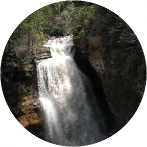
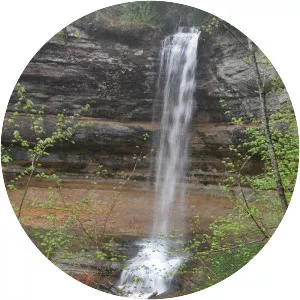
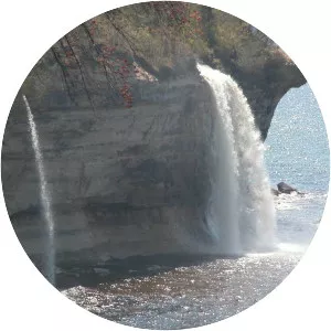
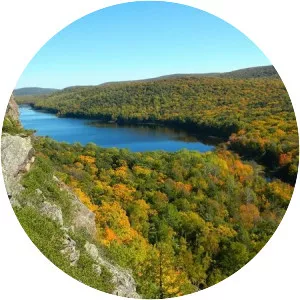
Pictured Rocks National Lakeshore hugs the south shore of Lake Superior in Michigan's Upper Peninsula. It's known for the dramatic multicolored Pictured Rocks cliffs. Unusual sandstone formations like Miners Castle and Chapel Rock define the park's headlands. Twelvemile Beach has a trail through a nearby white birch forest. Remnants of shipwrecks dot the shoreline around Au Sable Point's 19th-century lighthouse.
Where is the Pictured Rocks National Lakeshore

Click on the photo of Pictured Rocks National Lakeshore to view it on Google Maps.