Paricutin
| Use attributes for filter ! | |
| Elevation | 2,800 m |
|---|---|
| Prominence | 208 m |
| Did you know | Paricutin is merely the youngest of more than 1,400 volcanic vents that exist in the Trans-Mexican Volcanic Belt and North America. |
| Ratings | 4.6 |
| Last eruption | 1952 |
| First ascent | 1943 |
| Coordin | 19°29′35″N 102°15′4″W / 19.49306°N 102.25111°W |
| Easiest rout | Hike |
| Parent range | Trans-Mexican Volcanic Belt |
| Date of Reg. | |
| Date of Upd. | |
| ID | 1411812 |
About Paricutin
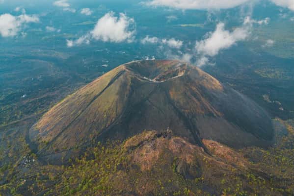
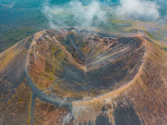
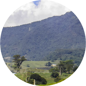
Parícutin is a cinder cone volcano located in the Mexican state of Michoacán, near the city of Uruapan and about 322 kilometers west of Mexico City. The volcano surged suddenly from the cornfield of local farmer Dionisio Pulido in 1943, attracting both popular and scientific attention.
Where is the Paricutin
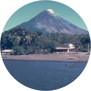
Click on the photo of Paricutin to view it on Google Maps.
Paricutin Photos