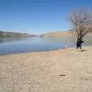
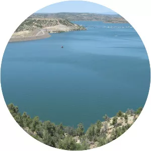
Panguitch Lake
| Use attributes for filter ! | |
| Surface elevation | 2502 |
|---|---|
| Area | 505 |
| Length | 3. 22 km |
| Width | 1. 77 km |
| Locations | Garfield County |
| Utah | |
| United States | |
| Fish | Rainbow trout |
| Cutthroat trout | |
| Brown trout | |
| Brook trout | |
| Date of Reg. | |
| Date of Upd. | |
| ID | 3027211 |
About Panguitch Lake
Panguitch Lake was originally a large natural lake that has now been expanded by the creation of a 24-foot dam to become a reservoir with a maximum surface area of 1,248 acres. The lake, which drains into the Sevier River is located on the Markagunt Plateau, between Panguitch, Utah and Cedar Breaks National Monument.