Öræfajökull
| Use attributes for filter ! | |
| Last eruption | 1728 |
|---|---|
| Elevation | 2,110 m |
| Parent range | Mid-Atlantic Ridge |
| Mountain range | Mid-Atlantic Ridge |
| Did you know | Its highest peak, Hvannadals Peak, reaches an elevation of 6,952 feet (2,119 metres) above sea level and is also the highest peak in Iceland. |
| Ratings | 4.5 |
| Prominence | 2,110 m |
| Locations | Iceland |
| Age of rock | Pleistocene |
| Date of Reg. | |
| Date of Upd. | |
| ID | 1080002 |
About Öræfajökull
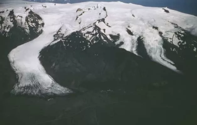
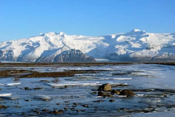
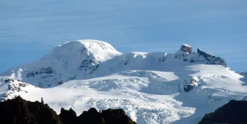
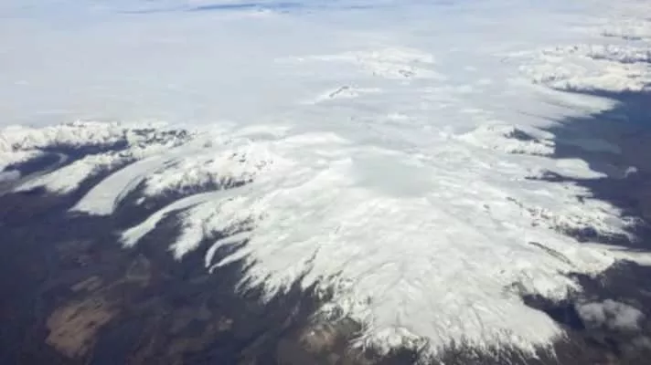
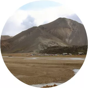
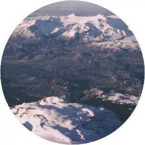
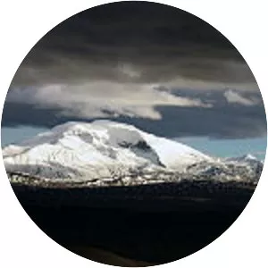
Öræfajökull is an ice-covered volcano in south-east Iceland. The largest active volcano and the highest peak in Iceland at 2,110 metres, it lies within the Vatnajökull National Park and is covered by part of the glacier. The original Norse settlers named the volcano Knappafellsjǫkull.
Where is the Öræfajökull
Click on the photo of Öræfajökull to view it on Google Maps.
Öræfajökull Photos