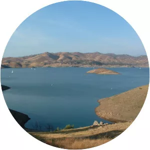
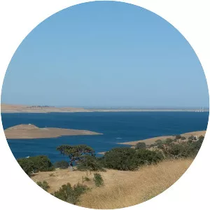
O'Neill Forebay
| Use attributes for filter ! | |
| Area | 9105 |
|---|---|
| Catchment area | 7 |
| Width | 3 km |
| Length | 3 km |
| Surface elevation | 71 |
| Inflow source | San Luis Reservoir |
| Governor Edmund G Brown California Aqueduct | |
| Delta–Mendota Canal | |
| Date of Reg. | |
| Date of Upd. | |
| ID | 3042807 |
About O'Neill Forebay
O'Neill Forebay is a forebay to the San Luis Reservoir created by the construction of O'Neill Dam across San Luis Creek approximately 12 miles west of Los Banos, California, United States, on the eastern slopes of the Pacific Coast Ranges of Merced County.