North Downs Way
| Use attributes for filter ! | |
| Highest point | Botley Hill |
|---|---|
| Length | 153 mi (246 km) |
| Locations | South Eastern |
| England | |
| United Kingdom | |
| Designation | National Trails |
| Use | Hiking |
| Trailheads | Farnham |
| Surrey | |
| Dover | |
| Kent | |
| Address | North Downs Way c/o Kent Downs AONB Unit West Barn, Penstock Hall Farm, Canterbury Road, East Brabourne, Ashford TN25 5LL, United Kingdom |
| Hours | Closed ⋅ Opens 6:30AM |
| Phone | +44 1303 815170 |
| Date of Reg. | |
| Date of Upd. | |
| ID | 1108846 |
About North Downs Way
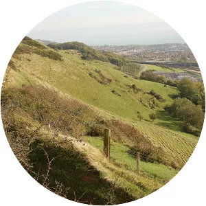
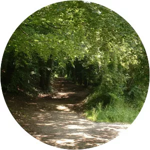
The North Downs Way National Trail is a long-distance path in southern England, opened in 1978. It runs from Farnham to Dover, past Guildford, Dorking, Merstham, Otford and Rochester, along the Surrey Hills Area of Outstanding Natural Beauty and Kent Downs AONB.
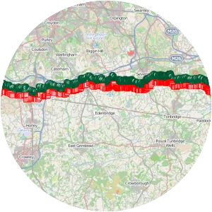
Where is the North Downs Way

Click on the photo of North Downs Way to view it on Google Maps.