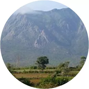
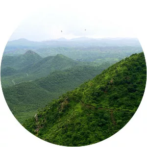
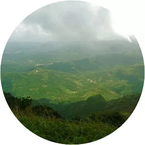
Nallamala Hills
| Use attributes for filter ! | |
| Provinces/States | Andhra Pradesh |
|---|---|
| Telangana | |
| Highest point | Bhairani Konda |
| Country | India |
| Age of rock | Proterozoic |
| Length | 90 mi (140 km) north-south |
| Mountains | Bhairani Konda |
| Gundla Brahmeswara | |
| Date of Reg. | |
| Date of Upd. | |
| ID | 2159332 |
About Nallamala Hills
The Nallamalas are a section of the Eastern Ghats which stretch primarily over Kurnool, Nellore, Guntur, Prakasam, Kadapa and Chittoor districts of the state of Andhra Pradesh and Mahabubnagar, Nalgonda districts of the state of Telangana, in India.