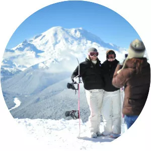
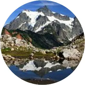
Mt. Baker Ski Area
| Use attributes for filter ! | |
| Address | Mt Baker Hwy, Deming, WA 98244, United States |
|---|---|
| Snowfall | 641 in (53. 4 ft; 16. 3 m) |
| Vertical | 1,589 ft (484 m) |
| Top elevation | 50891551 |
| Date of Reg. | |
| Date of Upd. | |
| ID | 3076538 |
About Mt. Baker Ski Area
Mt. Baker Ski Area is a ski resort in the northwest United States, located in Whatcom County, Washington, at the end of State Route 542. The base elevation is at 3,500 feet, while the peak of the resort is at 5,089 feet. It is about ten miles south of the 49th parallel, the international border with Canada.
Where is the Mt. Baker Ski Area

Click on the photo of Mt. Baker Ski Area to view it on Google Maps.