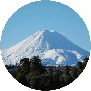
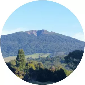
Mount Kakepuku
| Use attributes for filter ! | |
| Elevation | 449 |
|---|---|
| English translation | swollen neck or swollen stomach of Kahu |
| Topo map | Pirongia |
| Age of rock | Pliocene |
| Coordinates | 38° 3' 57. 51"S, 175° 14' 59. 6358"E |
| Locations | North Island |
| New Zealand | |
| Date of Reg. | |
| Date of Upd. | |
| ID | 2937337 |
About Mount Kakepuku
Kakepuku rises from the plain between the Waipa and Puniu rivers, about 3 km NW of Te Kawa and 8 km SW of Te Awamutu in the Waikato region of New Zealand's North Island.