Mount Elbert
| Use attributes for filter ! | |
| Elevation | 4,401 m |
|---|---|
| First ascent | 1874 |
| Locations | High point |
| Lake County | |
| State of Colorado | |
| High point of Lake County and the State of Colorado, U.S. | |
| Topo map | USGS |
| Mountain range | Rocky Mountains |
| Sawatch Range | |
| Southern Rocky Mountains | |
| Did you know | Mount Elbert lies 12 miles (19 km) southwest of Leadville, in the Sawatch Range and White River National Forest. |
| Ratings | 4.7 |
| Prominence | 2,765 m |
| First ascender | H. W. Stuckle |
| Coordin | 39°07′03.9″N 106°26′43.2″W / 39.117750°N 106.445333°W |
| Date of Reg. | |
| Date of Upd. | |
| ID | 917719 |
About Mount Elbert
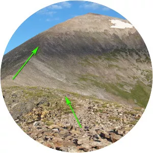
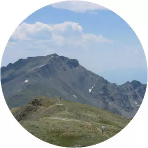
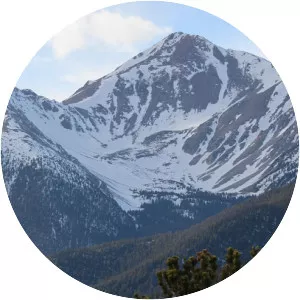
The summit of Mount Elbert at 14,440 feet elevation is the highest summit of the Rocky Mountains of North America, the highest point in the U.S. State of Colorado, and the second-highest summit in the contiguous United States after Mount Whitney.
Where is the Mount Elbert
Click on the photo of Mount Elbert to view it on Google Maps.