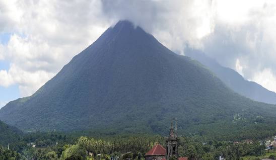
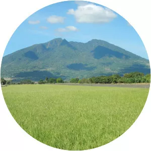
Mount Banahaw
| Use attributes for filter ! | |
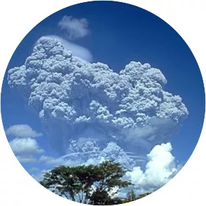
| Last eruption | 1909 |
|---|---|
| Elevation | 2,170 m |
| Volcanic arc/belt | Macolod |
| Topo map | Mount Banahaw Relief Map, SRTM-1. jpg |
| Regions | Laguna |
| Quezon | |
| Provinces | Laguna |
| Quezon | |
| Prominence | 1,919 m |
| Citi and municip | Candelaria |
| Dolores | |
| Liliw | |
| Lucban | |
| Majayjay | |
| Nagcarlan | |
| Rizal | |
| San Pablo | |
| Sariaya | |
| Tayabas | |
| Coordin | 14°04′03″N 121°29′33″E / 14.06750°N 121.49250°E |
| Last erupt | 1909 |
| List | Active volcano; Ultra |
| Provinc | Laguna |
| Quezon | |
| Date of Reg. | |
| Date of Upd. | |
| ID | 2440367 |
About Mount Banahaw
Mount Banahaw is an active complex volcano on Luzon in the Philippines. The three-peaked volcano is located at the boundary of Laguna and Quezon provinces. It is the highest mountain in both provinces and Calabarzon region, dominating the landscape for miles around.
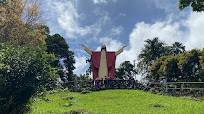
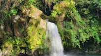
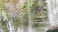
Mount Banahaw Photos