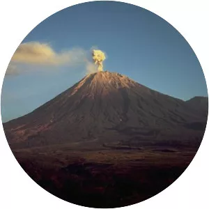
Mount Agung
| Use attributes for filter ! | |
| Last eruption | November 21, 2017 |
|---|---|
| June 13, 2019 | |
| Elevation | 3,031 m |
| Prominence | 3,031 m |
| English translation | Paramount, The Great Mountain |
| Provinces | Bali |
| Did you know | Mount Agung's last major eruption in 1963 killed about 1,100 people. |
| Ratings | 4.4 |
| Coordin | 8°20′27″S 115°30′12″E / 8.34083°S 115.50333°E |
| English translat | Paramount, The Great Mountain |
| Isol | 105 km |
| Date of Reg. | |
| Date of Upd. | |
| ID | 1080040 |
About Mount Agung
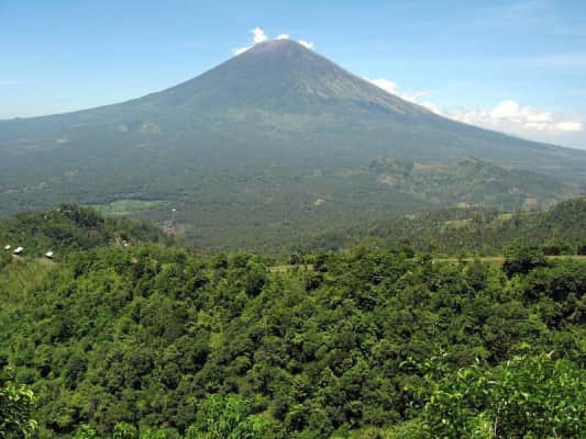
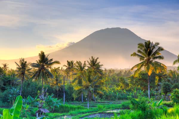
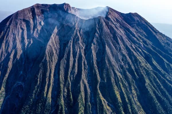
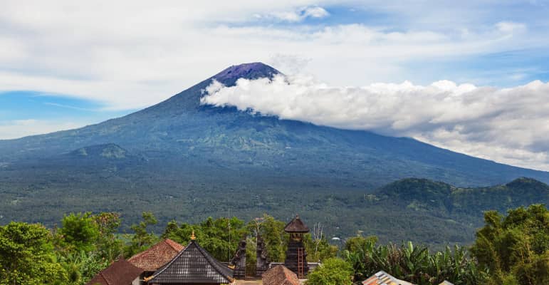
Mount Agung is an active volcano in Bali, Indonesia, southeast of Mount Batur volcano, also in Bali. It is the highest point on Bali, and dominates the surrounding area, influencing the climate, especially rainfall patterns. From a distance, the mountain appears to be perfectly conical.
Where is the Mount Agung
Click on the photo of Mount Agung to view it on Google Maps.
Mount Agung Photos