Middle Level Navigations
| Use attributes for filter ! | |
| Locks | 6 |
|---|---|
| Start point | Peterborough |
| Navigation authority | Middle Level Commissioners |
| Maximum boat length | 80 ft 0 in (24. 38 m) |
| Maximum boat beam | 11 ft 0 in (3. 35 m) |
| Connects to | River Nene |
| Great Britain | |
| River Great Ouse | |
| Date of Reg. | |
| Date of Upd. | |
| ID | 2467779 |
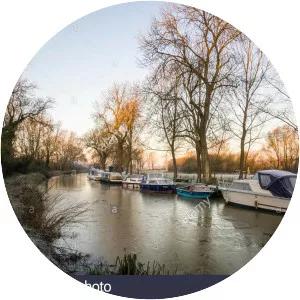
About Middle Level Navigations
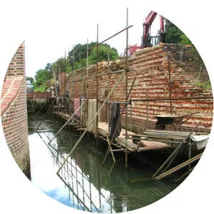
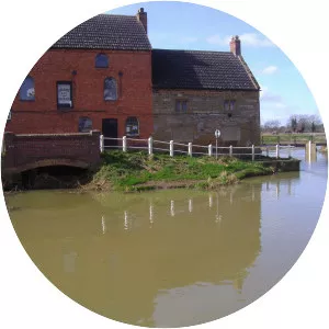
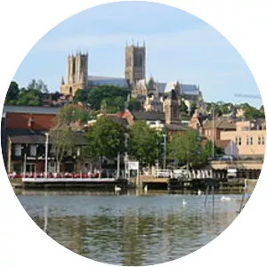
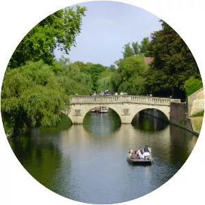
The Middle Level Navigations are a network of waterways in England, primarily used for land drainage, which lie in The Fens between the Rivers Nene and Great Ouse, and between the cities of Peterborough and Cambridge.