Mescal Range
| Use attributes for filter ! | |
| Elevation | 1981 |
|---|---|
| Country | United States |
| Topo map | USGS |
| District | San Bernardino County |
| Range coordinates | 35°26′27. 938″N 115°33′7. 991″W / 35. 44109389°N 115. 55221972°W Coordinates: 35°26′27. 938″N 115°33′7. 991″W / 35. 44109389°N 115. 55221972°W |
| Date of Reg. | |
| Date of Upd. | |
| ID | 2154976 |
About Mescal Range
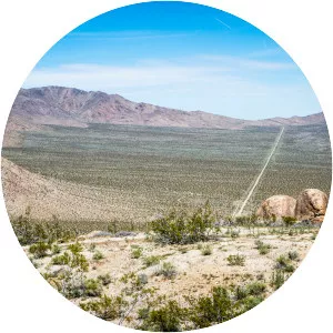
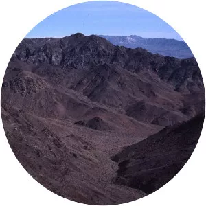
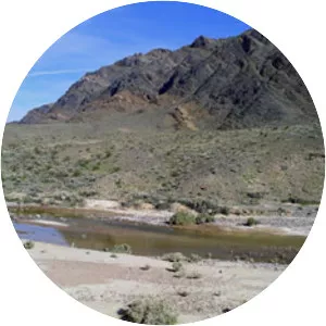
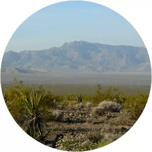
The Mescal Range is a small mountain range in the eastern Mojave Desert in California about 12 miles from the Nevada state line. The range lies just to the south of Interstate 15 near Mountain Pass. The Clark Mountain Range lies to the north. It lies northwest of the Ivanpah Mountains across Paiute Valley.