Manning River
| Use attributes for filter ! | |
| Length | 261 km |
|---|---|
| Basin size | 8,125 km2 (3,137 sq mi) |
| Regions | New England Tablelands |
| NSW North Coast | |
| IBRA | |
| Northern Tablelands | |
| Mid North Coast | |
| Mouth | Tasman Sea |
| National parks | Barrington Tops |
| Woko | |
| Sources | Mount Barrington |
| Great Dividing Range | |
| Date of Reg. | |
| Date of Upd. | |
| ID | 2253613 |
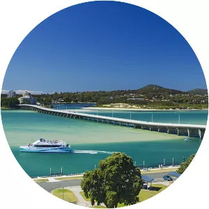
About Manning River
Manning River, an open and trained mature wave dominated barrier estuary, is located in the Northern Tablelands and Mid North Coast districts of New South Wales, Australia.