Mahood Lake
| Use attributes for filter ! | |
| Ratings | 4.9 |
|---|---|
| Surface elevation | 629 m |
| Length | 20.5 km |
| Area | 33.5 km² |
| Width | 2.2 km |
| Provinces | British Columbia |
| Inflow source | Canim River |
| Outflow location | Mahood River |
| Date of Reg. | |
| Date of Upd. | |
| ID | 4062401 |
About Mahood Lake
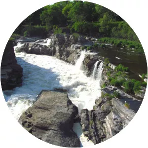
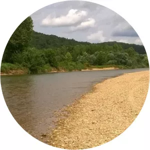
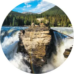
Mahood Lake is a lake in the South Cariboo region of the Interior of British Columbia in Wells Gray Provincial Park. It is drained by the Mahood River, a tributary of the Clearwater River which has cut a deep canyon into Cambrian rocks and Pleistocene glacial moraines.
Where is the Mahood Lake
Click on the photo of Mahood Lake to view it on Google Maps.