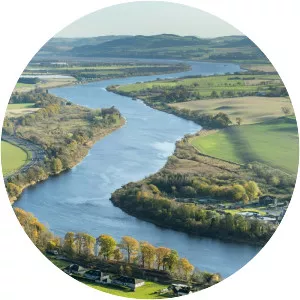
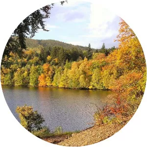
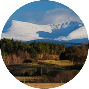
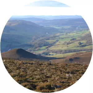
Loch Tummel
| Use attributes for filter ! | |
| Length | 11 km |
|---|---|
| Area | 5791 |
| Surface elevation | 142 |
| Locations | Perth and Kinross |
| Scotland | |
| Max. depth | 44 m (145 ft) |
| Shore length1 | 27. 2 km (16. 9 mi) |
| Date of Reg. | |
| Date of Upd. | |
| ID | 1196981 |
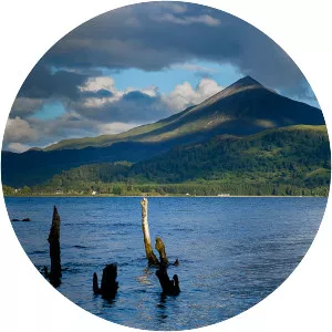
About Loch Tummel
Loch Tummel is a long, narrow loch, 7 km north west of Pitlochry in the council area of Perth and Kinross, Scotland. It is fed and drained by the River Tummel, which flows into the River Tay about 13 km south-east of the Clunie Dam at the loch's eastern end. The loch is traversed by roads to both north and south.