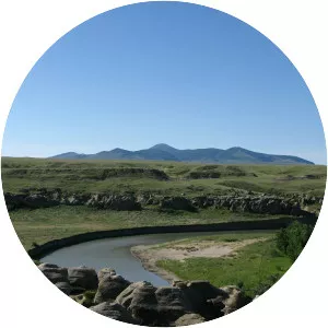
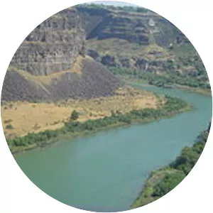
Little Missouri River
| Use attributes for filter ! | |
| Length | 901 km |
|---|---|
| Discharge | 15. 12 m³/s |
| Source | Flatiron Butte |
| Country | United States |
| Mouths | Missouri River |
| Lake Sakakawea | |
| Bridges | Lost Bridge |
| Date of Reg. | |
| Date of Upd. | |
| ID | 2351681 |
About Little Missouri River
The Little Missouri River is a tributary of the Missouri River, 560 miles long, in the northern Great Plains of the United States. Rising in northeastern Wyoming, in western Crook County about 15 miles west of Devils Tower, it flows northeastward, across a corner of southeastern Montana, and into South Dakota.