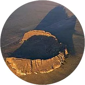
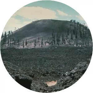
Lava Butte
| Use attributes for filter ! | |
| Elevation | 1,531 m |
|---|---|
| Prominence | 155 m |
| Last eruption | About 7,000 years ago |
| Age of rock | About 7,000 years |
| Did you know | The Lava Butte Interpretive Trail circles the crater rim. |
| Ratings | 4.7 |
| Last erupt | About 7,000 years ago |
| Easiest rout | Road |
| Coordin | 43°55′04″N 121°21′22″W / 43.917857481°N 121.356032936°W |
| Topo map | USGS |
| Date of Reg. | |
| Date of Upd. | |
| ID | 909882 |
About Lava Butte
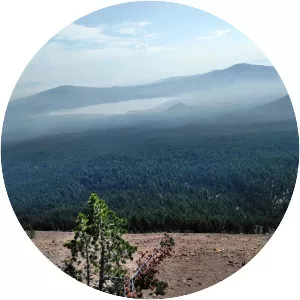
Lava Butte is a cinder cone in central Oregon, United States, just west of U.S. Route 97 between the towns of Bend, and Sunriver in Deschutes County. It is part of a system of small cinder cones on the northwest flank of Newberry Volcano, a massive shield volcano which rises to the southeast.
Where is the Lava Butte
Click on the photo of Lava Butte to view it on Google Maps.